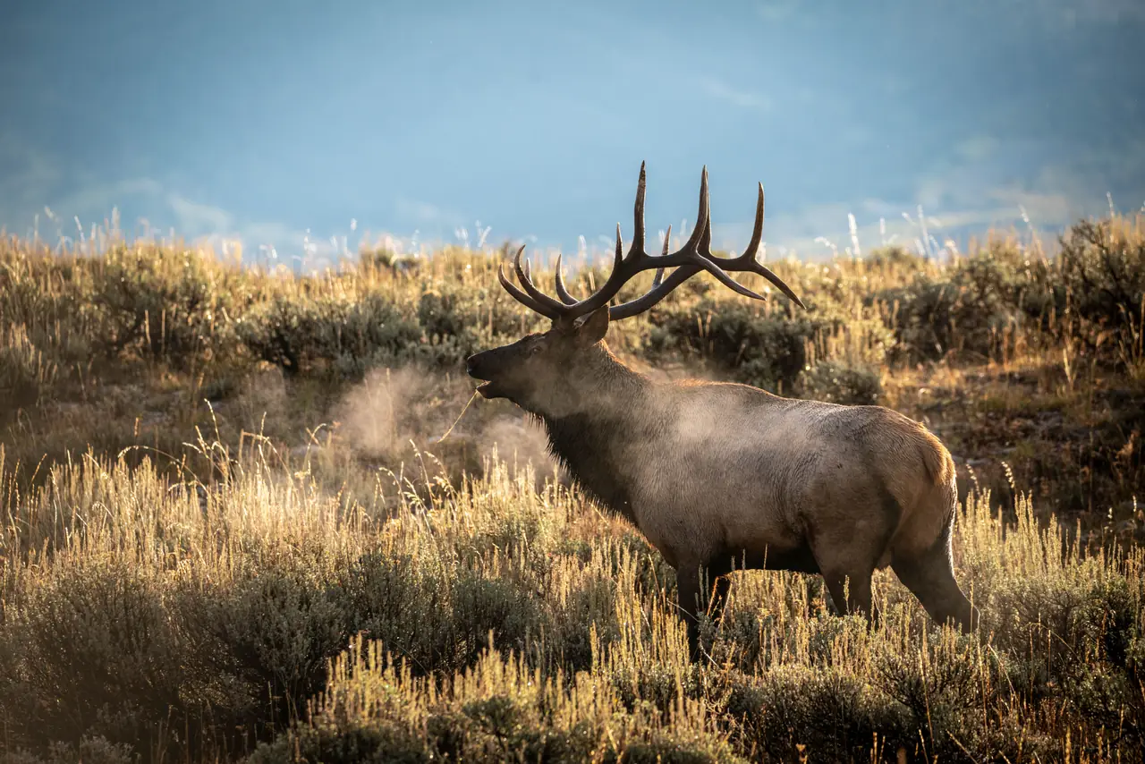
Photo: NPS · public domain
- Hunts this season
- 10
- Season
- 2025
Hunts in this unit by opportunity score
- Overall draw rate
- The share of applicants the agency's report counts who drew the hunt: every choice it prints applicants for, first choices only, or authorized permits per first and second choices, as the row says. It is not your chance of drawing.
- Filled their tag
- How often hunters who drew that tag actually harvested.
- Opportunity
- Higher means a hunt you can both draw and fill.
| Hunt | GMUs | Overall draw rate | Filled their tag | Opportunity | Year |
|---|---|---|---|---|---|
| ELK-1-253 | 12 | about 1 in 6 drew, 18% | 55 of 100, 55% | 10.2 | 2025 |
| ELK-1-254 | 12 | about 1 in 6 drew, 18% | 53 of 100, 53% | 9.4 | 2025 |
| ELK-1-250 | 12 | about 1 in 6 drew, 17% | 39 of 100, 39% | 6.7 | 2025 |
| ELK-1-252 | 12 | about 1 in 7 drew, 14% | 39 of 100, 39% | 5.5 | 2025 |
| ELK-1-251 | 12 | about 1 in 6 drew, 18% | 30 of 100, 30% | 5.4 | 2025 |
| ELK-1-249 | 12 | about 1 in 9 drew, 11% | 45 of 100, 45% | 4.8 | 2025 |
| ELK-2-255 | 12 | about 5 in 10 drew, 53% | 2 harvested, 22 hunters, few hunters, 9.1% | 4.8 | 2025 |
| ELK-2-247 | 12 | about 1 in 9 drew, 11% | 29 of 100, 29% | 3.2 | 2025 |
| ELK-2-246 | 12 | about 1 in 6 drew, 17% | 17 of 100, 17% | 2.9 | 2025 |
| ELK-1-248 | 12 | about 1 in 25 drew, 3.9% | 58 of 100, 58% | 2.2 | 2025 |
Unit 12 — New Mexico
Game Management Unit 12 lies along the Arizona line in west-central New Mexico. The Department of Game and Fish describes its boundary as beginning where US 60 meets the New Mexico–Arizona state line, running north along the state line to the south boundary of the Zuni Indian Reservation, east and north around the reservation — which the unit excludes — to NM 53, east on NM 53 to Cibola County Road 42, then south and east by CR 42, NM 117, CR 41, Catron County Road A083 and NM 603 to US 60 at Pie Town, and west along US 60 back to the state line. The department's map places Ramah, El Morro and Pinehill along the unit's northern arm, Fence Lake and Techado through its center, and Quemado, Pie Town and Red Hill on its US 60 southern edge.
The map's surface-ownership shading shows a checkerboard: BLM land concentrated in the unit's southwest, with a second large BLM block in the east along County Road 42, state parcels scattered throughout, private land across much of the rest, and the Ramah Reservation labeled as a tribal block in the unit's northeastern interior. No national forest is shaded inside the unit, and the department's BLM map references for it are the Fence Lake and Quemado quadrangles.
By the figures in this page's land-ownership panel, drawn from the USGS Protected Areas Database of the United States (PAD-US) 3.0, Unit 12 is predominantly private land with a substantial public component; the public share is mostly BLM and state trust land, in that order of extent. That private share also takes in the Ramah Reservation and the other tribal land the department's map shows around Ramah and Pinehill, because tribal land reads as zero in PAD-US 3.0 here.
The hunts tabled on this page cover deer, elk and pronghorn. New Mexico's draw is purely random: applications are randomly assigned sequence numbers, and the draw works through them in that order, trying each application's hunt choices in turn, with no preference granted for past unsuccessful applications. Each hunt's licenses are split by quota — a minimum of 84 percent to New Mexico residents, 10 percent to outfitter-contracted applicants and 6 percent to non-outfitted nonresidents. Treat any odds or opportunity score beside this text as a published rate from past seasons, or a score computed from two of them, not a guarantee.
Every draw-rate, success-rate and opportunity-score figure here is read from published reports — a guide to relative opportunity, never a guarantee of a tag or a harvest. Figures cover seasons through 2025; data last refreshed Nov 3, 2026. Source: New Mexico Department of Wildlife. Odds & Antlers is an independent product, not affiliated with or endorsed by it.