- Hunts this season
- 0
- Season
- 2026
Browse every unit with barbary sheep hunts →
Unit 34 — New Mexico
Game Management Unit 34 sits in south-central New Mexico, wedged between three big federal and tribal neighbors. The Department of Game and Fish draws its boundary from Tularosa Gate on the east boundary of the White Sands Missile Range, east and north by county roads to US 54, south to US 70 at Tularosa, northeast on US 70 to the Mescalero Apache Indian Reservation, then around the reservation's west, south and east sides — the unit excludes it — north to the Lincoln–Chaves county line, east along that line for about two miles, down county roads to US 82, west to NM 24, south along NM 24 past Dunken to Piñon, west along NM 506 to the Fort Bliss Military Reservation, around Fort Bliss and the Sacramento Division of the Lincoln National Forest, and back along US 54 and the missile range's east boundary south of Orogrande. The map places Tularosa, Alamogordo and Valmont along the unit's western corridor, Cloudcroft in its north, Timberon near its southern boundary with Fort Bliss, and Piñon and Dunken on its southeastern and eastern edges.
The map's surface-ownership shading shows a broad core of Lincoln National Forest across the unit's center, BLM land concentrated along the western corridor under the missile range boundary, and state, private and BLM land mixed through the east. Where the unit meets Fort Bliss on the south, the map carries a red "Fort Bliss — Access Permit Required" notation. The department's map references for the unit are the Lincoln National Forest (Sacramento Ranger District) map and the BLM's Alamogordo and Ruidoso quadrangles.
In overall land-ownership character, Unit 34 is predominantly public land with a meaningful private component; the public share is mostly national forest and BLM land, in that order of extent. That characterization comes from the USGS Protected Areas Database of the United States (PAD-US) 3.0 — the exact breakdown is in this page's land-ownership panel.
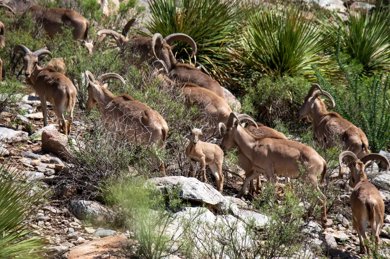
The hunts tabled on this page cover deer and elk every year. Barbary sheep was tabled here through 2022, when the draw results listed this unit with Units 32, 36 and 37 for the Barbary sheep hunts; from 2023 those hunts name only Units 32, 36 and 37. New Mexico's draw is purely random — applications receive random sequence numbers, and the draw works through them in that order, trying each application's hunt choices in turn, with no preference for previously unsuccessful applicants — and each hunt's licenses are split by quota: a minimum of 84 percent to residents, 10 percent to outfitter-contracted applicants and 6 percent to non-outfitted nonresidents. Treat any odds or opportunity score beside this text as a published rate from past seasons, or a score computed from two of them, not a guarantee.
Every draw-rate, success-rate and opportunity-score figure here is read from published reports — a guide to relative opportunity, never a guarantee of a tag or a harvest. Figures cover seasons through 2026; data last refreshed Nov 3, 2026. Source: New Mexico Department of Wildlife. Odds & Antlers is an independent product, not affiliated with or endorsed by it.